End-to-End Reality Capture
to Immersive Digital Twins

Complete capture, modelling and visualisation that turns your sites into immersive, data-rich environments.

About Reality Scan Solutions

Reality Scan Solutions is an Australian-based technology company specialising in end-to-end reality capture, spatial data processing, and digital twin solutions. We combine cutting-edge SLAM LiDAR, photogrammetry, and AI-driven automation to transform real-world environments into intelligent, interactive 3D experiences.

Our team delivers high-accuracy scanning services using custom-built mobile LiDAR systems and advanced photogrammetry workflows. From capturing critical infrastructure to optimising 3D mesh outputs and developing digital twins in Unreal Engine or Cesium, we tailor every solution to fit the unique needs of industries like AEC, utilities, infrastructure, and real estate.

We don’t just capture data—we make it actionable. Whether you're looking to reduce site visits, enhance asset management, or create immersive environments for training or simulation, we bring the digital and physical worlds together with precision and purpose.

Contact Us

Our Services

Reality Capture Icon

Reality Capture Services

  • SLAM LiDAR Mobile Scans
  • Static Survey-grade LiDAR
  • Drone & Aerial Imagery
  • 360° & DSLR Ground Photos
Reality Capture Icon

Reality Capture Services

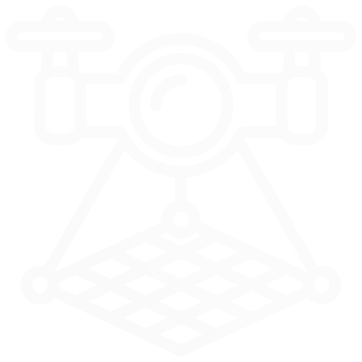
Reality Scan Solutions delivers accurate and efficient on-site capture services using a combination of advanced terrestrial, mobile and aerial technologies. Our focus is on capturing real-world environments with high fidelity, tailored to the specific needs of each project. All data is collected to support downstream workflows including photogrammetry, point-cloud processing, BIM and Digital-Twin integration.

Capture Methods
  • RSS in-house developed SLAM LiDAR systems for fast, flexible mobile scanning
  • Stationary terrestrial LiDAR for high-accuracy, survey-grade scanning
  • 360-degree panoramic cameras for contextual site imagery
  • Drone-based aerial capture for terrain, façades and inaccessible areas
  • Mirrorless camera capture for high-resolution imagery
  • Wearable or vehicle-mounted mapping systems for linear infrastructure and large sites
Client Impact
  • Fast, flexible site capture with minimal disruption
  • Accurate datasets aligned to survey control for immediate use
  • Full data ownership with no third-party cloud lock-in
  • Ready-to-process outputs for BIM, GIS and photogrammetry workflows
Data Processing Icon

Automated Processing & AI Optimisation

  • AI Image QA & Tagging
  • Point-Cloud Registration
  • 3DGS / 3D Tiles Output
  • Global Colour & Lens Fix
Data Processing Icon

Automated Processing & AI Optimisation

Raw capture data only becomes useful after it is cleaned, aligned and compressed. Our automated pipelines now leverage in-house AI agents to screen imagery for blur, noise and exposure issues and auto-tag photos against client-defined taxonomies before any further processing begins. The result is cleaner inputs and less human rework.

What We Deliver
  • RAW photo colour grading, lens calibration and denoise
  • AI-driven image QA (blur/noise detection) and auto-tagging
  • Point-cloud registration, thinning and AI-assisted classification
  • Automated 3DGS and 3D Tiles exports for web and Unreal Engine 5
  • Scripted file-size reduction of 60 % – 90 % with no loss of accuracy
  • Built-in QA checks and metadata tagging on every run
Key Benefits
  • Faster turnarounds and load times for BIM, Digital Twin and web portals
  • Lower compute costs for VR/AR and mobile use
  • Consistent coordinates, naming and metadata for seamless hand-off
  • AI QA removes manual errors, catching unusable images early
  • Automation delivers repeatable, audit-ready results
Photogrammetry & Mesh Optimisation Icon

Photogrammetry & Mesh Optimisation

  • Hi-Res Textures & Orthos
  • Asset Split & Clean-up
  • Smart Mesh Decimation
  • DEM & Feature Extraction
Photogrammetry & Mesh Optimisation Icon

Photogrammetry & Mesh Optimisation

High-resolution photos and LiDAR frames are transformed into clean, textured meshes and geospatial layers using a fully automated workflow. By applying structured capture rules such as sharp focus, high overlap and full coverage, we reduce manual clean-up and ensure consistent, reconstruction-ready outputs.

Capabilities
  • Survey-accurate alignment and dense mesh generation
  • High-resolution textures, orthomosaics and digital-elevation models
  • Asset separation, retopology, hole filling and mesh clean-up
  • Smart decimation for lightweight Cesium 3D Tiles or UE5 Nanite assets
  • Texture baking including normal, displacement and PBR maps
  • Quality reports including overlap coverage, reprojection error and metadata tagging
Key Benefits
  • Visually rich outputs that stream smoothly in digital-twin environments
  • Smaller file sizes reduce load times and GPU memory demand by 60 % – 90 %
  • Consistent scale, coordinate systems and asset naming for efficient integration
  • Automated workflows speed up delivery and reduce the need for manual mesh repair
BIM Icon

Back Modelling (BIM) & BIM Tools

  • LOD 350-400 Revit Models
  • Standards Compliance Checks
  • Clash Detection Workflows
  • Navisworks Plug-ins & Exports
BIM Icon

Back Modelling (BIM) & BIM Tools

We go beyond basic point-cloud-to-model conversion by creating data-rich geometry, federating models across disciplines, and building custom tools that optimise how information flows into your coordination platforms, data lake and digital-twin systems.

Capabilities
  • Accurate Revit or Tekla modelling from point clouds at LOD 350 – 400
  • Federation-ready outputs including coordinated RVT, NWC, NWD and IFC files
  • Clash-detection setup and resolution tracking across Navisworks and BIM 360
  • Custom-developed Navisworks plugins for property tagging, model filtering and data grouping
  • Export automations that append metadata, spreadsheet links or external database fields
  • Flexible selection-tree structuring for digital-twin requirements or model-visualisation controls
Key Benefits
  • Streamlined coordination through clean, federated models and export-ready files
  • Less manual effort managing properties and file structures across disciplines
  • Seamless alignment between BIM environments and digital-twin platforms
  • Custom Navisworks functionality tailored to your project’s workflow and data requirements
  • Scalable outputs that match evolving requirements in asset handover or O&M systems
Digital Twin Icon

Digital Twin Environments

  • Web / VR / Touch Solutions
  • Cesium, UE5, Omniverse
  • Real-time IoT & API Feeds
  • Pixel Streaming Delivery
Digital Twin Icon

Digital Twin Environments

We create custom digital-twin environments using Cesium, Unreal Engine and NVIDIA Omniverse, tailored to your assets, data structures and user workflows. Designed for the web, desktop, kiosk or VR, our environments are not off-the-shelf viewers—they are purpose-built tools engineered to enhance visibility, coordination and decision-making.

Capabilities
  • Bespoke environments in Cesium, Unreal Engine 5 or NVIDIA Omniverse
  • Web, VR and touchscreen-ready deployments with consistent user experience
  • Custom interfaces for measurement, annotation, filtering and spatial queries
  • Pixel streaming for high-performance model access from lightweight devices
  • Client-specific tools and UI logic for asset tracking, simulations or procedural navigation
  • Real-time API integration for IoT data, maintenance systems, BIM databases and sensors
  • Support for asset versioning, access control and operational state logic
Key Benefits
  • Tailored experiences aligned to your operational goals and asset lifecycle
  • Real-time spatial awareness from any location, across teams or stakeholders
  • Built-in flexibility to scale from small projects to enterprise-wide twins
  • Multi-platform support for browser, VR headset or Omniverse-based simulation hubs
  • Bridges reality-capture, BIM and live systems into one cohesive, interactive interface
Advisory & Strategic Support Icon

Advisory & Strategic Support

  • Capture & DE Specs
  • AI Agent & LLM Roadmaps
  • Vendor & Quality Audits
  • BIM / Twin Data Strategy
Advisory & Strategic Support Icon

Advisory & Strategic Support

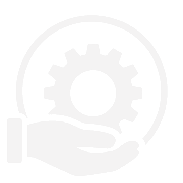
We help clients define clear requirements, align vendors and structure their digital workflows—now with an added focus on AI integration. From project kickoff to operations, we identify opportunities to deploy custom AI agents and large-language-model (LLM) solutions that automate manual, low-value tasks and unlock new insights from your data.

Capabilities
  • Reality capture and digital engineering specifications or management plans tailored to your project
  • Technical briefings and alignment with vendors to ensure accurate, usable outputs
  • AI integration road-mapping, including agent design, LLM fine-tuning and deployment strategies
  • QA and review frameworks aligned to ISO 19650, NatSpec and project-specific standards
  • Audits of scan completeness, model geometry, metadata and naming conventions
  • Support in structuring model exports, federated files and database-ready outputs
  • Strategic guidance on preparing data for integration with digital twins and live systems
Key Benefits
  • Ensures vendor deliverables are complete, structured and fit for purpose
  • Reduces back-and-forth by defining expectations upfront with clear documentation
  • Automates repetitive tasks, freeing your team for higher-value work
  • Helps make every dollar spent on scanning or modelling go further
  • Builds a strong foundation for future integration with BIM, GIS or digital twin platforms

Our Clients

We are proud to partner with industry leaders to deliver exceptional results.

Salix Company Logo
Willow Company Logo
REDD Company Logo

Contact Us

Ready to discuss your project? Get in touch with our team today.

Location: Toowong, Queensland, Australia

Email: [email protected]

Schedule a booking online with a member of our team.

Book a Meeting